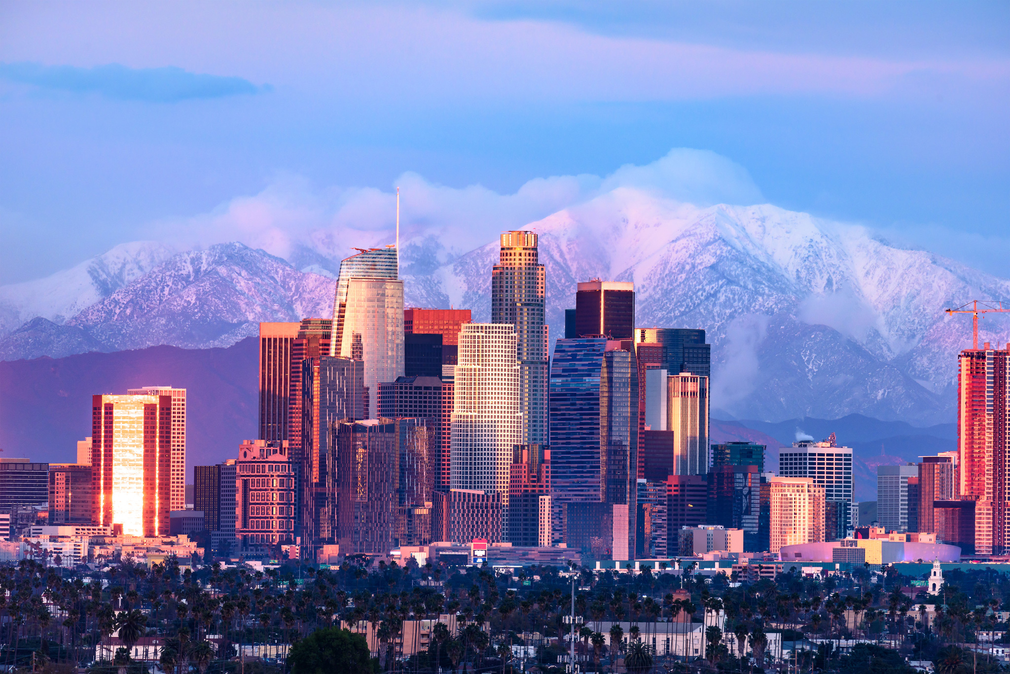
Just when it seemed like our wet winter had dried up for the season, a strong and rare storm is about to settle on Southern California this week—and possibly bring some serious snowfall along with it.
A “cold, dangerous,” winter storm will move into the region starting Tuesday evening and stick around into Saturday, according to the National Weather Service. Temperatures will be 10 to 20 degrees below normal (hang in there, wildflowers) which means highs in the low 50s, at best, for much of L.A., with high winds on Tuesday night that could bring mountain wind chills down to 10 to 20 degrees.
Forecasted storm totals have increased, but confidence remains low on exactly how much to expect. However, the higher snow accumulations make it even more imperative to take extra care when traveling or commuting around foothill, desert, and mountain roads. #LAsnow #CArain #CAwx pic.twitter.com/KKOf1d2TAe
— NWS Los Angeles (@NWSLosAngeles) February 21, 2023
While most of L.A.’s low-lying areas will just see a few inches of rain, the most notable part of the forecast is by far the snowfall levels at only somewhat higher elevations. In fact, the NWS says the storm could bring the “largest amount of 24–48-hour snowfall seen in decades” in the mountains around Los Angeles and Ventura Counties.
Mountains above 6,000 feet (that’s slightly taller than the Mount Wilson Observatory) could see two to three feet of snow—or even as much as seven feet. Peaks above 4,000 feet (roughly the elevation of the top of the dreaded Grapevine along the 5) could see one to two feet of snow, while peaks 2,500 to 4,000 feet could receive six inches to a foot of snow. In other words, about a half-dozen of the tallest peaks in the western Santa Monica Mountains (the rugged area north of Malibu) could be covered in snow.
Perhaps most remarkably, peaks as low as 1,500 feet could receive one to six inches of snow; for reference, the Hollywood Sign sits just above that elevation. In addition, some foothill areas and elevated valley floors like the Santa Clarita Valley and Antelope Valley could receive a dusting on Wednesday.
There are a couple of caveats, however: Though the totals have continued to trend upward, the NWS says it has low confidence in its predictions for the actual amount of snow due to the storm’s “rare pattern” and “Alaskan origin” (some harsh words there for the Last Frontier). In addition, since there’s supposed to be precipitation pretty much all week, actually spotting that snow through the cloud cover might be difficult, especially if the rain and ascending snow level on Thursday turns much of that relatively low-lying white stuff into slush.
L.A.’s tallest peaks have been blanketed in snow much of this winter, a relatively frequent occurrence even in drier seasons. But the possibility of somewhat low-altitude snow is rarer and always cause for excitement. Most recently, parts of Malibu and Pasadena saw something that sort of looked like snow in 2019. As far as a bona fide blanket of snow, the L.A. Basin last had a dusting in 1962, with considerable snow last dumped in 1949.

0 Comments